General News
11 February, 2025
North West avoids worst of big wet, motorists still impacted
Access to Cairns and Townsville by road has been almost impossible from the North West.
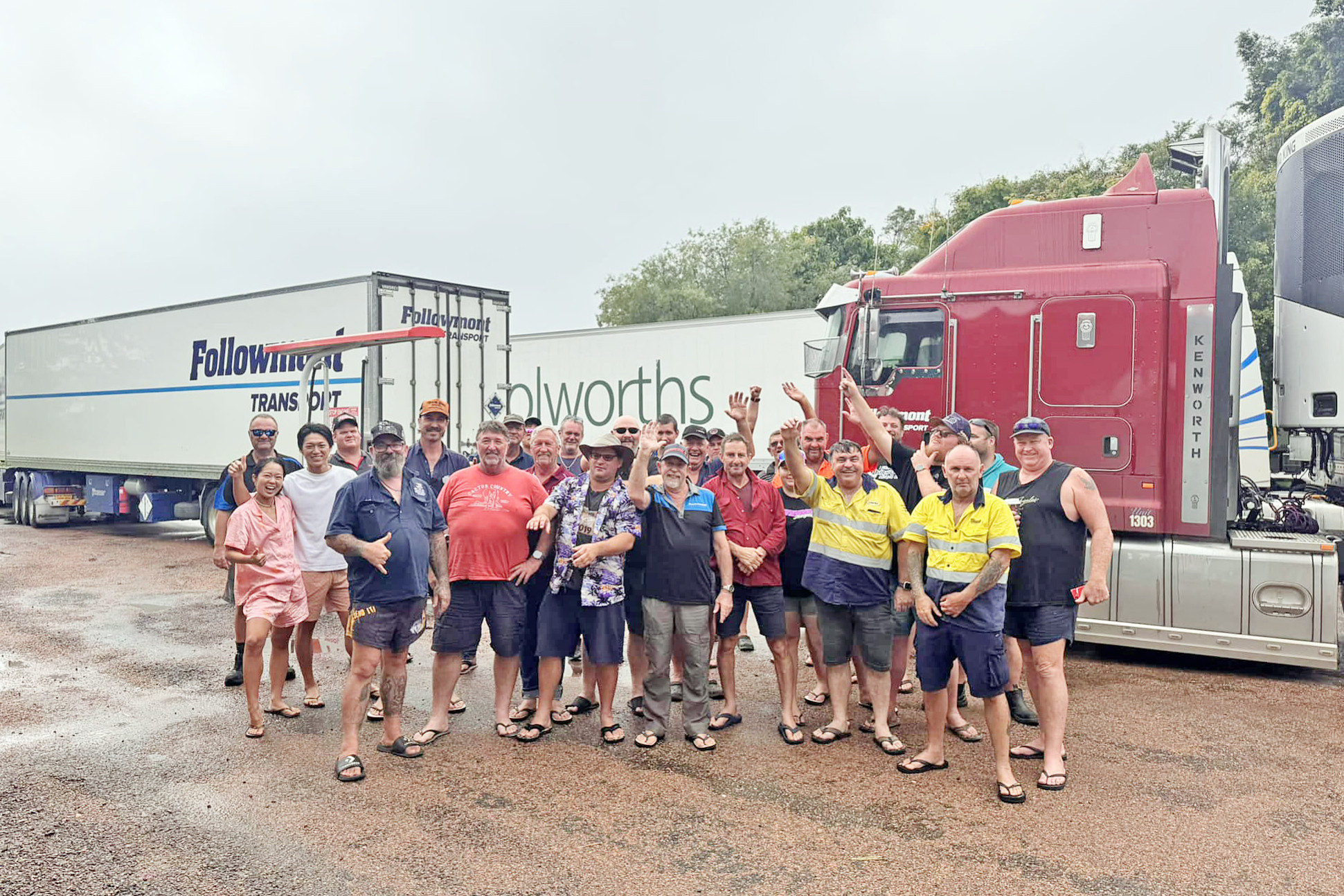
North Queensland’s fragile road network has once again been exposed after motorists were cut off in almost every direction following last week’s flooding around Townsville.
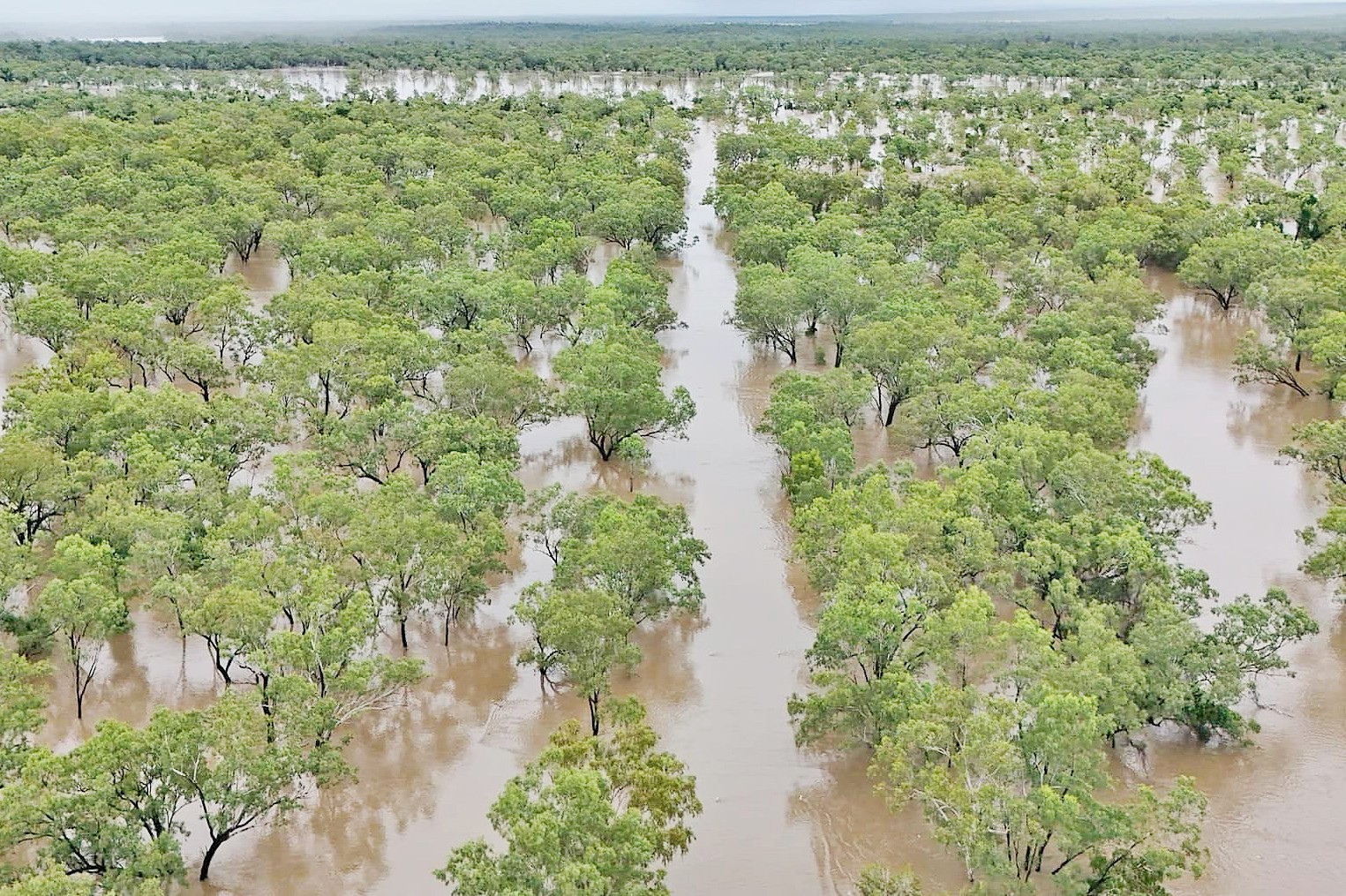
While the North West received welcome rain, it was far from the monsoonal downpours on the coast, nor the type of rain that saw much of the region flooded last year and in 2023.
Still, road access to Cairns and Townsville has been cut off for most of February.
At the time of writing, Mount Isa residents could head west to the Northern Territory border without any fuss, and east to Cloncurry, but couldn’t go much further without running into water on the road.
The Landsborough Highway to Winton was technically open, although did close at one point, but still had minor flooding.
On the Flinders Highway, you could get to Julia Creek, but access to Richmond was cut off due to floodwater over the road at Boundary Creek, according to the Department of Transport and Main Roads.
Getting to Normanton was OK – at least for the time being – with the Burke Development Road only impacted by water on the shoulders of the road.
Carpentaria mayor Jack Bawden said motorists could still get to Karumba, although he expected that could change any day.
Road access to Karumba is routinely cut off during most wet seasons, which means that the council and community have systems in place to manage.
Those hoping to get to the coast from the Gulf would only get as far as the Gilbert River bridge, which was underwater on Tuesday.
Residents on the eastern side of the Gilbert, namely those living in Georgetown, were landlocked by the Etheridge River.
Last week, Etheridge Shire had to wake people up and get them to move to high ground, such was the risk for Georgetown residents in low-lying areas.
Hughenden residents have also been cut off in most directions for much of the past 10 days.
At one point, the town’s Ernest Henry Bridge was closed due to rising floodwater.
Getting to Charters Towers was possible – at least when water near Prairie subsided – but access north via The Lynd was quickly cut off.
Roads south of Hughenden were also impassable, according to TMR.
Meanwhile, the Bruce Highway between Cairns and Townsville was re-opened on Tuesday with a quick-fix bridge allowing traffic to resume passage on the main coastal route, although more rain could see further closures pop up on the route.
The flooding has led to empty shelves across North Queensland, with residents sensing the worst and stocking up early.
Mount Isa-based MP Robbie Katter said he was concerned at how quickly the shelves became bare in the North West.
“It might be from people not having faith in the road network,” he said.
“It also might be a result of their lack of faith in Coles and Woolies to prioritise the North West with other places impacted by floods.”
The Member for Traeger said it was a concern how one rain event around the coast and an inland range could have such an impact on North Queensland.
“It says to me that we need more investment in roads and bridges,” he said.
“There is about 10km to seal on the Hann Highway, which is the major inland highway.
“While access has been cut off in some areas of that road because of the floods, there would have been an opportunity last week to use it when the Bruce was closed.
“We cop heavy rain every wet season but our roads and bridges aren’t coping.”
Flinders Shire mayor Kate Peddle said getting the Kennedy Development Road (Hann Highway) up to scratch should be a priority for the state and federal governments.
“In times of need, we Queenslanders want to help out a mate, and in this instance, we can’t due to 11 kilometres of unsealed road,” she said.
“If the Bruce Highway is cut, business is impacted, supply chains suffer, and inland communities lose the ability to support the coast. Right now, if they go down, we go down.
“We must seize this opportunity to push for the sealing of the highway and the completion of critical crossings, ensuring our regions remain connected and supported in challenging times.”
While road access has been made difficult, graziers across the region are delighted with the rain.
Rosebud Station, located between Mount Isa and Cloncurry, received more than 200mm to start the month.
Eddie Campbell said it was the perfect amount to start growth and sustain cattle.
It should also spell the end of the fire season.
“We’re very happy (with the rain). A bit more in a couple of months would be perfect,” he said.
RAINFALL IN OUR REGION
Bedourie – 9.4mm
Burketown – 127.6mm
Camooweal – 96mm
Cannington Mine – 172mm
Carters Bore – 200.4mm
Century Mine – 42mm
Cloncurry – 29.8mm
Georgetown – 338.2mm
Hughenden – 196mm
Julia Creek – 231.6mm
Mount Isa – 173.6mm
New May Downs – 147mm
Normanton – 191.8mm
Richmond – 229.4mm
The Monument – 158.8mm
Urandangi – 34.6mm
Winton – 147.6mm
Totals since February 1