Business
5 June, 2024
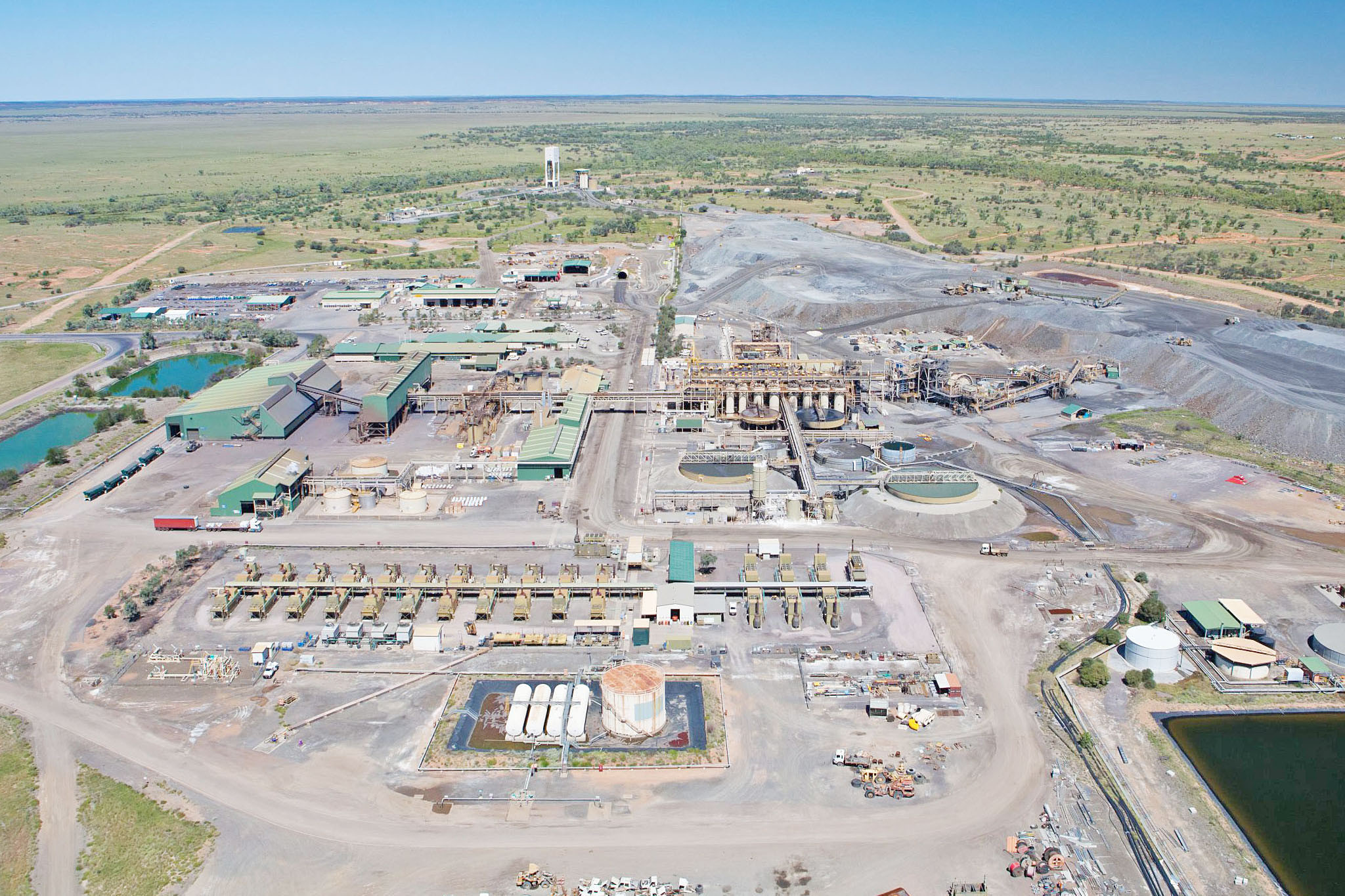
North West needs advanced aerial mapping: geologist
Investment by the federal government welcomed by former Mount Isa Mines workers.
A former Mount Isa Mines senior exploration geologist turned research academic says a landmark federal government commitment to fully map the nation’s critical minerals and water reserves will be a knowledge boon for North West mineral explorers and investors.
University of Adelaide research fellow Dr Richard Lilly, who worked at MIM between 2009 and 2015, said a government-funded expansion of data sets for precompetitive exploration, announced in last month’s federal budget, would enable private enterprise to make more informed decisions about where to pinpoint future activities.
He said while Mount Isa and Cloncurry were well-known exploration areas, there were still landmasses to the north and south of the cities that would greatly benefit from large scale aerial under cover surveys.
“When you can’t see the rocks, it is harder to know what you are dealing with,” Dr Lilly said.
“The more publicly available data we can get that is paid for by the government, the more it will enable explorers to open-up new search space with the best possible chances of success.
“It will make it less of a lucky dip and more of a targeted exploration. That is attractive to current and new explorers in the region.
“Mount Isa and Cloncurry are already well-known areas for exploring, but if you go 200km south of Cannington, for example, there is not a lot known about those areas. So, stepping out and researching the unknown areas is a good thing for the resource industry even though it is challenging.”
Dr Lilly said he expected there to be an increase in air traffic over North West skies in coming years as more broadscale aerial surveys were conducted under the government program.
“Once someone has found a deposit, geologists are very good at finding other ones nearby, but the challenge now is to find deposits under cover and then to find other deposits nearby, because you don’t have the rocks on the surface to survey – you must drill down. It is more challenging,” he said.
“If I was holding the purse strings, I would make sure we do every airborne survey we could at a really good resolution.
“The more surveys we can do, the more data we have to open up more future search space.”
As part of its budget announcements last month, Minister for Resources Madeleine King announced a 35-year funding strategy, including $566 million over the coming decade, which will enable Geoscience Australia (GA) to fully map and provide other data sets of the nation’s mineral and water resources.
GA makes all data and information available to the public, as well as to the resources industry.
“Given the odds of making a successful discovery during exploration are estimated to be around 1 in 1000, providing better information through government funding for new data and analysis allows us to improve those odds and reduce ecological disturbances through better targeted exploration,” Ms King said.
A 2023 Deloitte Economics report found that precompetitive mineral exploration would be significantly more expensive and carry a higher risk in the absence of precompetitive geoscience data and analysis.